Hiking Near the Town of Jasper
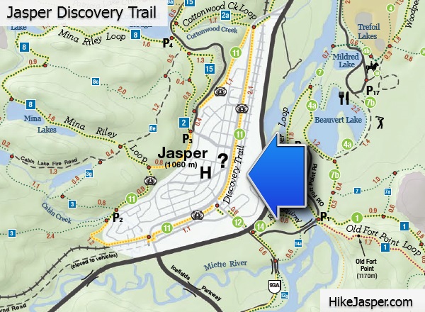
Jasper Discovery Trail
(Easy to Moderate)
Trail 11 8.3 km loop; 120 m elevation gain/loss; 2-3 hour hike.
Trailhead This trail circles around the town can be started anywhere. The bear symbol marks Jasper's Discovery Trail.![]() The Jasper Discovery Trail is split into three sections. Explore one part or travel the whole 8.3 km. There's something to suit nearly everyone.
Along the trail, look for signs, maps, markers and kiosks to guide your way.
The Jasper Discovery Trail is split into three sections. Explore one part or travel the whole 8.3 km. There's something to suit nearly everyone.
Along the trail, look for signs, maps, markers and kiosks to guide your way.
Bighorn Alley

(Easy)
Trail 13 4.3 km one way; 33 m elevation gain; 1-2 hour hike.
Trailhead The north-east end of the Jasper Discovery Trail.
![]() The Bighorn Alley trail provides access to lakes Annette and Edith via the Moberly Bridge on Highway 16. Please use caution when crossing the highway.
The Bighorn Alley trail provides access to lakes Annette and Edith via the Moberly Bridge on Highway 16. Please use caution when crossing the highway.
Red Squirrel Trail
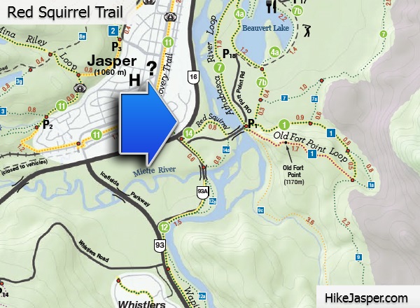
(Easy)
Trail 14 1 km one way; no elevation gain; half an hour hike.
Trailhead The junction of Hwy 16/93A.
![]() The Red Squirrel trail provides access to and from historic Old Fort Point. Portions of the trail are adjacent to Jasper's beautiful Athabasca River.
The Red Squirrel trail provides access to and from historic Old Fort Point. Portions of the trail are adjacent to Jasper's beautiful Athabasca River.
Wapiti Trail
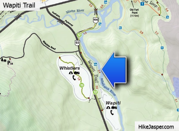
(Easy)
Trail 12 4.7 km one way; no elevation gain; 1-2 hour hike.
Trailhead The junction of Connaught Drive and Highway 93A North/Hazel Avenue.
![]() Use the Wapiti trail to access Whistlers and Wapiti campgrounds on Highway 93.
Use the Wapiti trail to access Whistlers and Wapiti campgrounds on Highway 93.
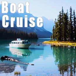
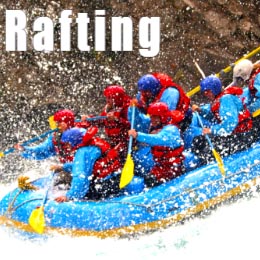
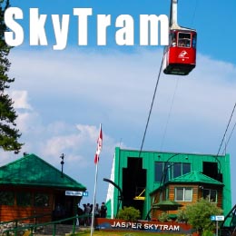
Tours in Jasper
Popular Tours in Jasper National Park..